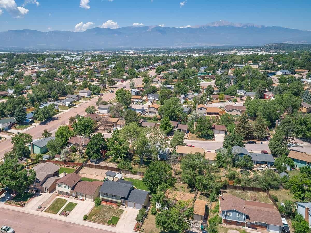

The Powers area of Colorado Springs is one of the more popular areas to live in in the Pikes Peak Region. Powers got its name because of the power lines that used to run up the corridor to service the Air Force Academy. Today is it a bustling center for shopping, retail, and some great neighborhoods to live in. The Powers area is popular because of its proximity to the Colorado Springs Airport and many of the military bases.
Things to do Outdoors in Powers Colorado Springs
Stetson Park is a great park to take your kids, dogs, or skateboard-loving teens. Located right next to Stetson Elementary, this park has a great playground, basketball courts, in-line skating, and even a labyrinth. There are some great fields for Spikeball, impromptu soccer games, or playing frisbee with your dog.
Best Food in Powers Colorado Springs

Fast Fit Foods is our choice for the best food along the Powers corridor. There are so many choices and if you like large national chains, you are in luck. We chose Fast Fit Foods because it is a locally owned business that caters to health-conscious but busy customers. Their meals are super easy to pick up and take out and are clearly marked with ingredients and nutritional information. They even carry a line of supplements in case you are running short.
Where to take your Pets in Powers Colorado Springs

When Fido needs to stretch his legs, head over to Eastridge Dog Park. This dog park was created by the Cherokee Metropolitan District. Located in Cimarron Hills on Shawnee Drive, this park actually has a separate area for small dogs. The park is open from 6 am – 10 pm and there are some lights for nighttime visitors.
Drinks in Powers Colorado Springs

FH Beerworks is also known as FieldHouse Brewery. FH Beerworks is located along the frontage road off Powers Boulevard. FH Beerworks has a great outdoor space to sit with friends and relax. A food truck is often there offering some of the best chips & salsa and tacos around town. FH Beerworks has a large variety of its own beer including a few gluten-free options. Fun events like music and trivia are popular here.
Things to do for Families in Powers Colorado Springs

Gripstone Climbing and Fitness is a newer business along the Powers and is quickly gaining fans and followers. This is a fun place to come with a group whether or not you have climbing experience or not. Gear can be rented and there are plenty of opportunities for beginners to learn some great climbing skills. Check out their website for events and camps.
Check out our other Local Lineups for other parts of Colorado Springs.